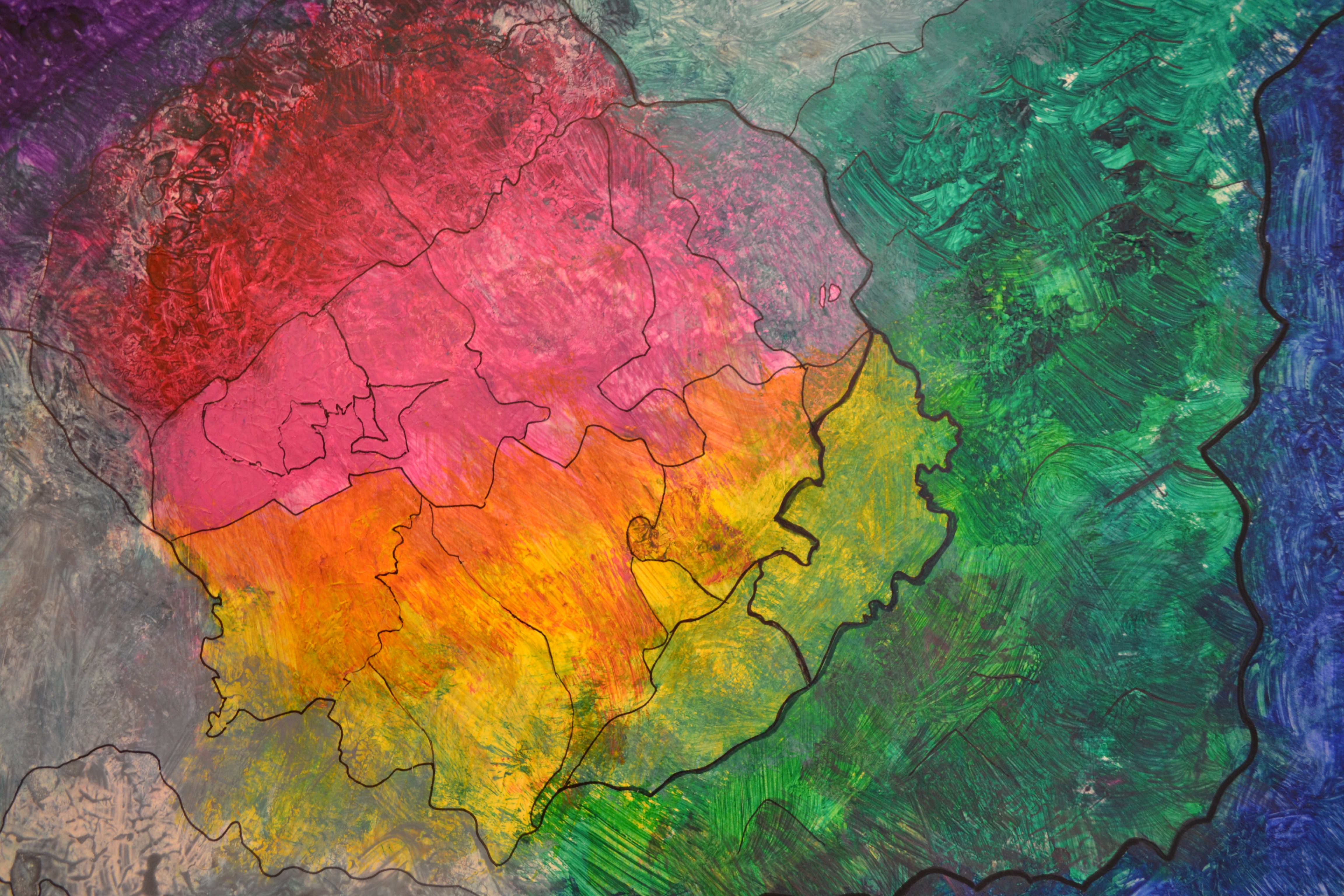
My emergent map depicts a new country I created, with an urban and rural area on opposite sides of the map. I used the colors to represent population density, where the people are more concentrated in the red areas and less in the green areas. All of the businesses are located in the redder areas and overall the area is a lot more modernized. The yellow and orange areas integrate green space as well as urban space, but green areas are entirely dominated by land and have yet to urbanize.
I think I created a country similar to a large-scale version of New York, but the land division is more polarized. Since this project was partially unplanned I didn’t really have any idea how it would turn out but I was very happy with it.